These theses that change life: A study of robust, set methods for a reliable multi-sensorial localization. Application for urban vehicle navigation.

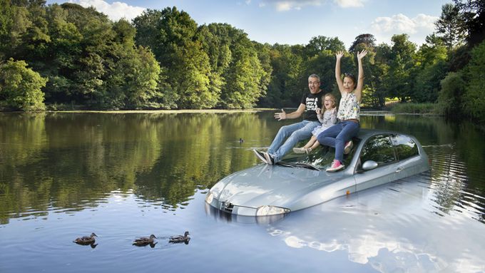
Are our car-mounted GPS units always reliable? Every driver of a car equipped with this precious instrument has wondered if the directions indicated are not simply improbable.
“In the field of aviation, the key word is system integrity”, explains Vincent Drevelle. “For air traffic control purposes, the aim is to locate any aircraft and guarantee the maximum rate of error”. During approach for landing phase, the data from satellites give a position with a maximum error of 10m. “If the navigation system detects an error exceeding 10m, it issues an alert informing the pilots that the GPS can no longer be used”.
Vincent Drevelle — who graduated from UTC as an engineer, majoring in Computer sciences and applications, followed by a Master’s degree in Information and systems technologies — wanted to transpose the idea of integrity from aircraft to cars and other road vehicles in general.
For aircraft, catastrophic failures in the chain of measurements and/or the satellites themselves are rather rare events. In contradistinction, GPS signals in an urban environment can be blocked or reflected by obstacles such as buildings or even trees and can induce large-scale errors”. To correctly locate an aircraft you need 4 satellite readings. In town, the number available is 2 or 3 given the constraints. “If you are in the Defence sector in West Paris or in some outback village in South France the figure might even be as low as 1 satellite”.
To be even more accurate, we must add data on altitude and the terrain. “We have done some work with the Institut Géographique National (IGN) to map part of the 12th arrondissement in Paris, notably including the width of the carriageways”. In parallel, the test vehicles were fitted with sensors to measure wheel speed, rotation rate and steering wheel angle. An on-board PC was used to calculate the exact position while the vehicles were in motion.
In a field, the maximum error is between 5 and 10 meters. In a difficult urban area the maximum error is 20 meters. However, “if we exclude the maps, altitude and other sensors, the maximum error can rise occasionally to 100 meters, or even (worst case) the GPS cannot locate the vehicle at all!”
The objective we assigned ourselves was not in fact to achieve accurate location but to have the possibility to assess maximum error”, insists Vincent Drevelle. “If a call is made to report an emergency of a road accident, we must be able to ascertain the error margin in which to locate the vehicle/persons”.
The work in Vincent Drevelle’s thesis can also prove useful for applications such as paying for a rented vehicle as a function of its real utilization (miles) or for truck tolls.


